Last modified: June 06, 2022

The Williamsville South High School Class of 1980 Alumni Web Site
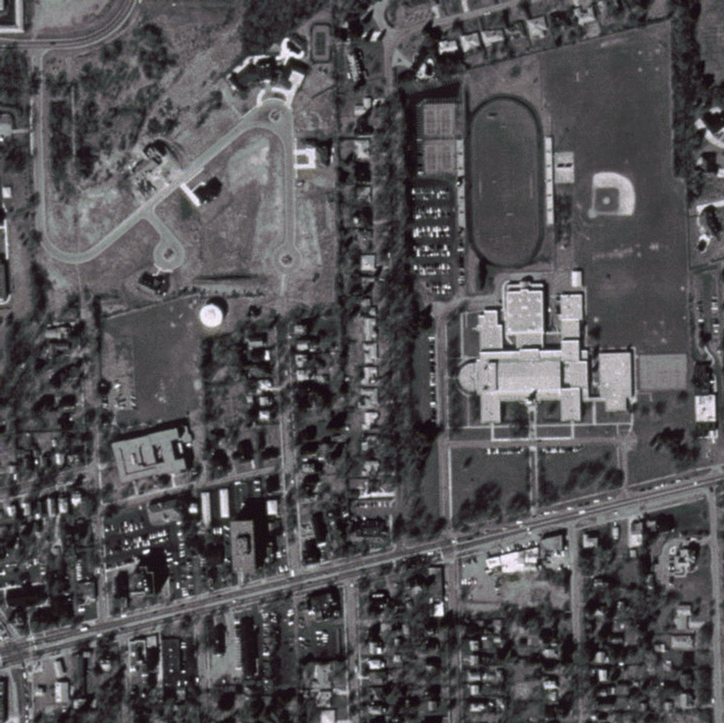
Satellite Picture of Williamsville South High School
This is an aerial image, taken in 1995, showing the area around Williamsville South High School. The resolution is 1 square meter per pixel, which is pretty good. If you hover your mouse pointer over some of the areas, a caption will appear.
Here's a map of the area shown above:

(click on it to go to Expedia.com's web site.)
If you're interested in aerial photography like this, try going to http://terraserver.microsoft.com/, which is where the data for this image came from. For an explanation of the data, go to this page, which explains how Microsoft worked with the The U.S. Geological Survey to produce the images available on their site. To find the region shown above, go to this link. You can also find a color version on the Google Maps web site by clicking here.
* Yes, this page fails the XHTML 1.1 strict test, due to an error in the specification that causes image maps to not work properly with most browsers.